The low clouds were floating
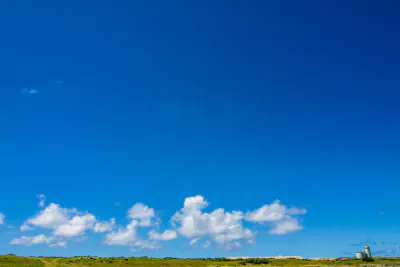
The building in this photo was an astronomical observatory. It was possible to watch the Southern Cross from here. The low clouds were floating above the horizon.
They looked like they were following the observatory. On the other hand, the observatory seemed to be running away from them. I thought as if they were playing tag. If the clouds floated just above the observatory, it became impossible to watch the sky. So I could see why the observatory was breaking away.
| Aug 2007 LANDSCAPE OKINAWA | |
| CLOUD HATERUMA HORIZON OBSERVATORY SKY |
Similar photos
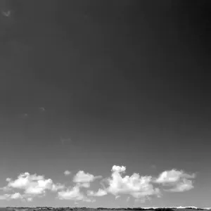
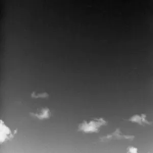


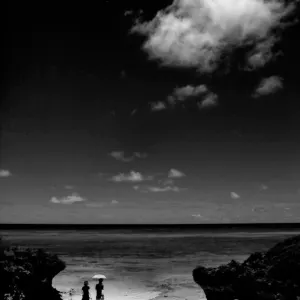
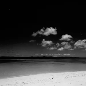
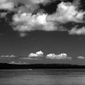
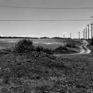
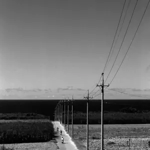
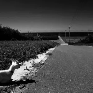
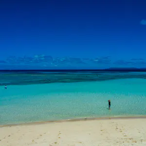


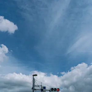

PHOTO DATA
No
999
Shooting Date
Jul 2007
Posted On
August 4, 2007
Modified On
December 12, 2023
Place
Isle Of Hateruma, Okinawa
Genre
Landscape Photography
Camera
RICOH GR DIGITAL